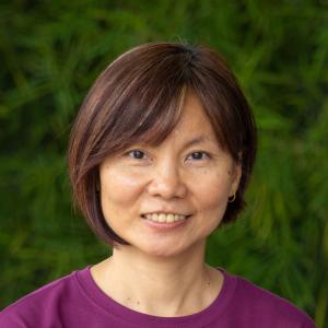
Scientist
Shwu Jiau Teoh is a Scientist (GIS) at WorldFish, specializing in spatial planning for aquaculture suitability assessments, zoning, and land cover mapping. Since joining WorldFish in 2005, she has applied GIS modeling to identify suitable areas for pond aquaculture in several countries across Africa, Asia and the Pacific, including Malawi, Cameroon, Bangladesh, and Timor-Leste.
Her expertise extends to project management, where she serves as the Project Manager for complex multi-disciplinary aquaculture projects like the Climate Adaptive, Inclusive, Nature-based Aquaculture (CAINA) project and the Partnership for Aquaculture Development in Timor-Leste (PADTL). Shwu Jiau has also overseen the development of web-based GIS systems, including the Coral Triangle Atlas and the MPA Atlas of the Bay of Bengal. She is committed to building GIS capacity for national partners, and made a significant contribution to Timor-Leste’s National Aquaculture Development Strategy (2012-2030) by conducting the country’s first freshwater aquaculture suitability assessment.