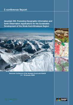
Mountain GIS: promoting geographic information and earth observation applications for the sustainable development of the Hindu Kush-Himalayan region

Citation
Nagabhatla, N. (Contributor) (2009). Mountain GIS: promoting geographic information and earth observation applications for the sustainable development of the Hindu Kush-Himalayan region. Conference of the Mountain Forum and ICIMOD. 14-28 Jan 2008. Nepal, The Mountain Forum Secretariat. 60 p.
The Hindu Kush-Himalayan (HKH) region, home to the largest concentration of glaciers outside of the polar region, is the ‘water-tower’ of Asia. The HKH mountain ecosystem provides life support services to almost a third of humanity. Many mountain issues such as management of water resources, climate change, biodiversity conservation and hazard mitigation are interconnected in nature and, therefore, need to be considered holistically. The relevance of geographic information (GI) and earth observation (EO) applications in supporting decision-making is being increasingly realised by technical experts, practitioners and policy makers. There is a growing need for generating spatial and temporal data to aid planning, management and policy formulation in the mountain context.
Permalink
Date Available
Type
Copyright
CC BY 4.0
Research Themes
Language